Camera, infrared, night vision, LiDAR, radar sensors, have evolved from the extremely expensive military hardware to state-of-the-art compact affordable systems. Capabilities and performances have increased dramatically. Still, the man-machine interface remains a major challenge. Interpretation and decision-making need to be trained adequately.
MChE is working with companies having developed cutting-edge technologies for civilian and homeland security use in the field of:
Simulation : Computational and visualization engines, designed to support a wide range of demanding visual applications based on photo-realistic visual and sensor scenes of real-world locations as requested by the customer.
TableTable
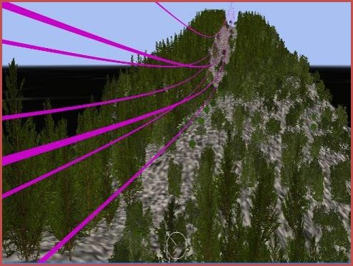 |
Georgraphic Information Services : automated generation of 2D and 3D images |
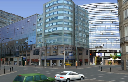 |
Simulation : Computational and visualization engines, designed to support a wide range of demanding visual applications based on photo-realistic visual and sensor scenes of real-world locationsas requested by the customer. |
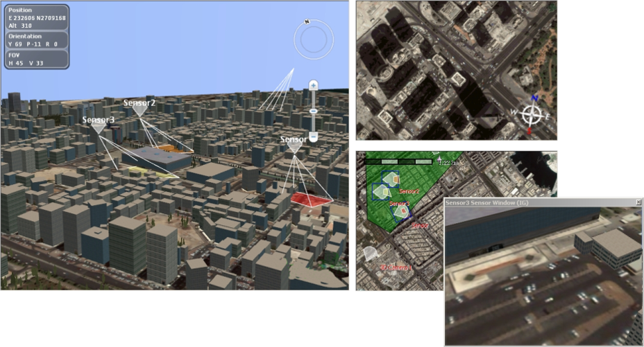 |
Data fusion : Fusion and visualisation of data from various electronic sensors for situation awarness |

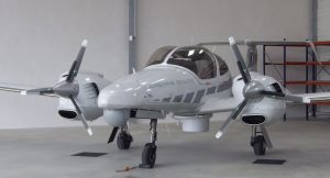

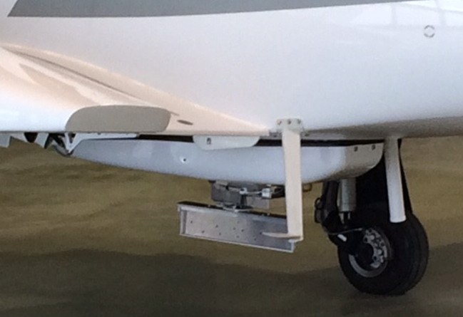 Illegal fishery, smuggling, pollution, migration control, search and rescue are challenges facing coast.line countries. Existing equipment and tools often derived from namilitary and naval inventory are expensice and out of reach for many national navies , coast guards and environmental protection organizations.
 In Oktober 2016 we founded the Lemberg High Tech Cluster .The Western Ukaranian region with its Central European heritage is only a few hours away from major technology hubs and offers strategic and operational resources, dynamic enterpreneurs, well educated work force, competitive pricing.
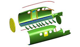 It is our goal to work out strategic concepts and implement them for our clients.